GEOSPATIAL INTELLIGENCE AND ENVIRONMENTAL SOLUTIONS FOR A CHANGING WORLD
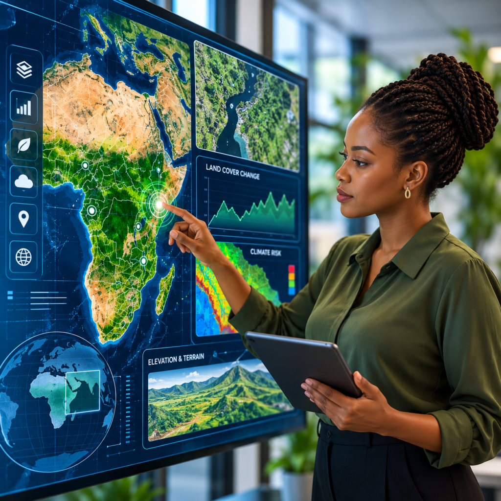
We transform geospatial data into actionable insights through GIS, remote sensing, spatial analysis, and environmental monitoring. Our solutions help organisations understand land-use change, assess climate and disaster risks, monitor ecosystems, and support informed planning and sustainable development.
WHY CHOOSE ZURI GEOSPATIAL
We combine GIS, remote sensing, spatial analysis and environmental intelligence to transform complex geospatial data into practical insights for better planning, risk management and sustainable development.
GIS & Remote Sensing Solutions
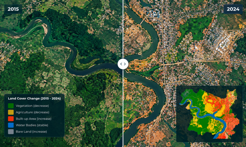
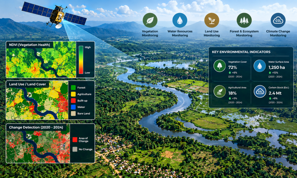
We apply GIS, satellite imagery, remote sensing and spatial analysis to understand landscapes, environmental change and geographic patterns, including land-use mapping, change detection and environmental monitoring.
Evidence-Based Spatial Analysis
We integrate satellite, environmental and socio-economic datasets to produce clear spatial evidence that supports informed decision-making and planning.
Risk-Informed Solutions
Our analysis supports understanding of flood hazards, ecosystem changes and vulnerable areas, contributing to climate adaptation, disaster-risk reduction and resilient planning.
Transforming Geospatial Data into Actionable Insights
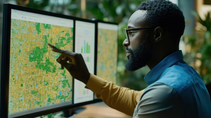
Zuri Geospatial combines GIS, remote sensing, spatial analysis and geospatial visualization to transform complex geographic and Earth observation data into clear, actionable insights. Our work helps organisations understand how landscapes and ecosystems are changing, identify environmental and climate-related risks, and develop evidence-based approaches to planning and resource management.
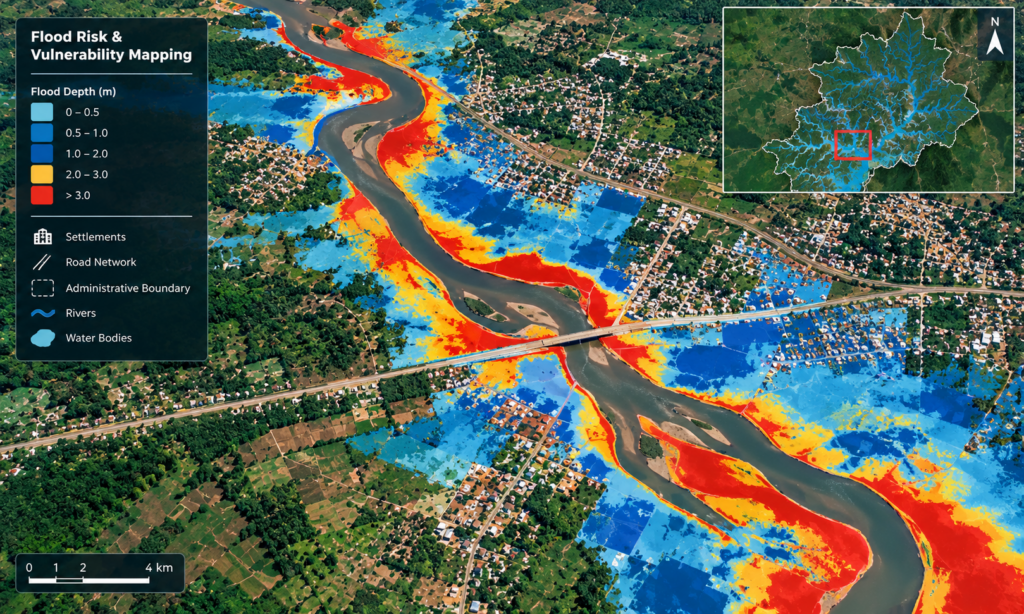
We apply technologies such as satellite imagery, GIS, Google Earth Engine, spatial modelling and machine-learning techniques to analyse land-use and land-cover change, environmental conditions and disaster risks. Our experience includes mapping and monitoring vegetation, wetlands, agriculture, settlements and water bodies, as well as developing flood-risk and vulnerability assessments.
By connecting scientific analysis with practical spatial information, Zuri Geospatial supports environmental monitoring, climate-change adaptation, disaster-risk reduction, sustainable planning and resilient development.
Geospatial Solutions for Smarter Decisions
Zuri Geospatial provides specialized geospatial and environmental services that transform spatial data into practical insights for planning, monitoring, risk assessment and sustainable development.
GIS & Spatial Analysis
We use Geographic Information Systems to analyse, manage and visualize spatial data, helping organizations understand geographic patterns, relationships and areas of interest.
Remote Sensing & Earth Observation
We use satellite and remotely sensed data to observe and analyse changes across landscapes, ecosystems and built environments.
Land Use & Land Cover Mapping
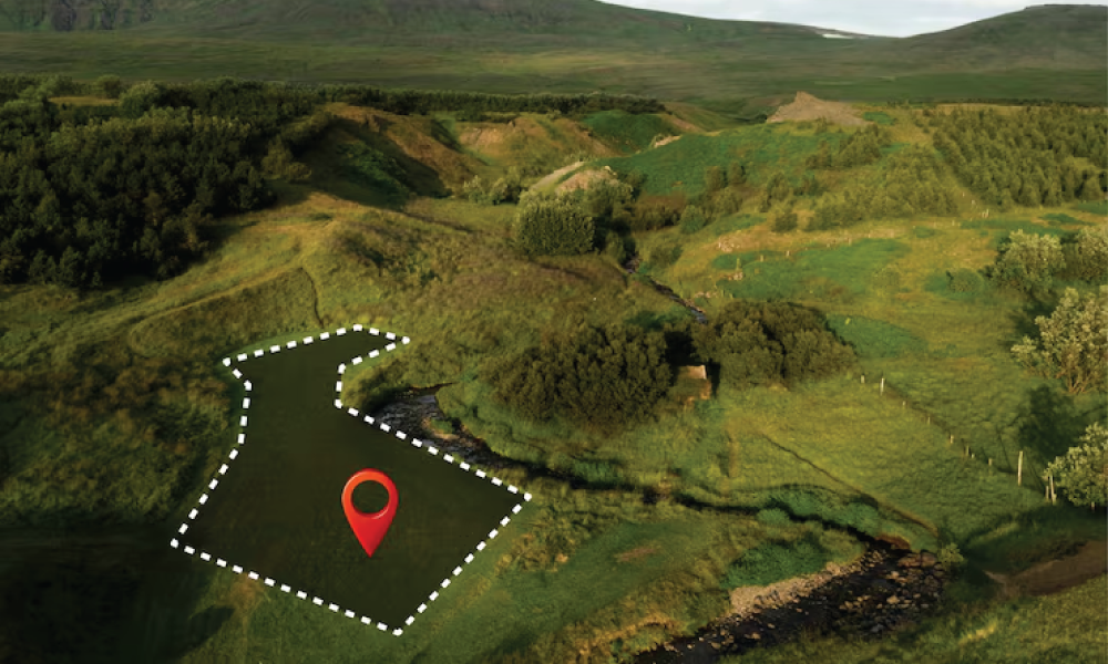
We develop detailed LULC maps to identify and monitor vegetation, wetlands, agriculture, settlements, water bodies and other land-cover classes over different periods.
Change Detection
We analyse multi-temporal geospatial datasets to identify and visualize how landscapes and land-use patterns change over time.
Flood Risk & Vulnerability Mapping
We integrate remote sensing, terrain, environmental and socio-economic data to map flood hazards, exposure and vulnerability and identify areas requiring risk-informed interventions.
Environmental Monitoring
We provide spatial analysis for monitoring environmental conditions and ecosystem changes, supporting conservation, planning and environmental management.
Climate Risk & Resilience
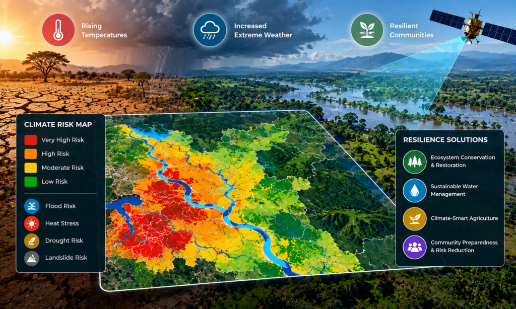
We apply geospatial analysis to understand climate-related risks and environmental changes, supporting adaptation, preparedness and resilient development.
Spatial Visualization & Story Maps
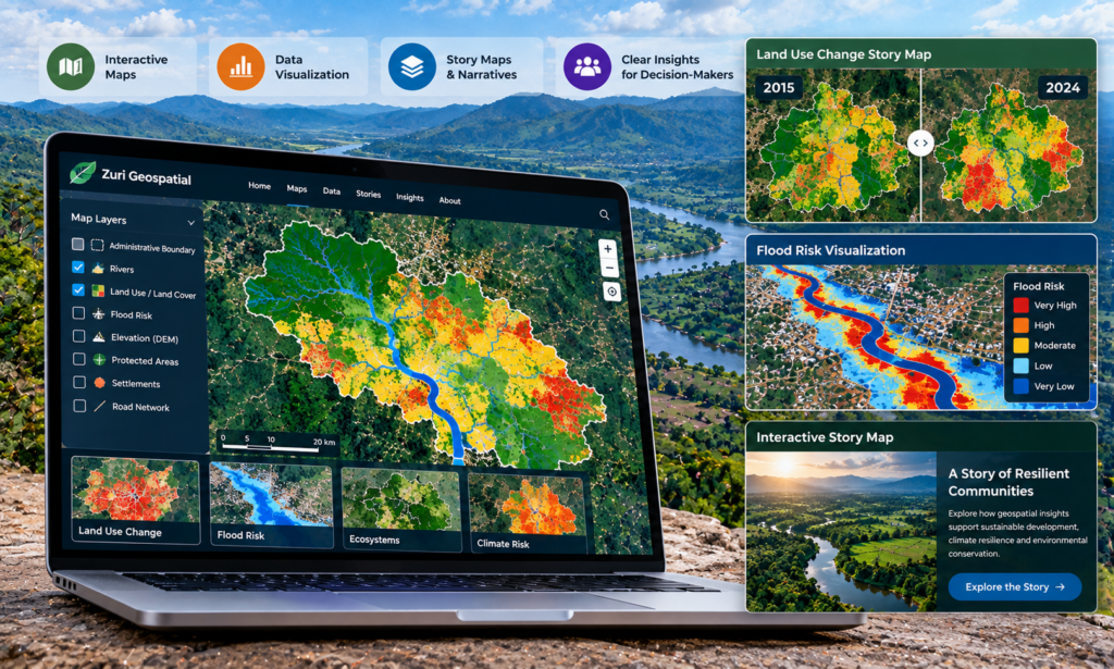
We transform complex spatial analysis into accessible maps, visualizations and interactive storytelling products that communicate findings clearly to decision-makers and wider audiences.
FOCUS AREAS
Where Geospatial Intelligence Creates Impact
Zuri Geospatial applies GIS, remote sensing and spatial analysis to environmental and development challenges across different landscapes. We support organisations with reliable spatial insights for understanding change, assessing risks, monitoring environments and strengthening planning and resilience.
Our expertise can support projects across the following areas:
- Climate Change & Resilience
- Flood Risk & Disaster Management
- Environmental Monitoring
- Land Use & Land Cover
- Natural Resource Management
- Agriculture & Food Systems
- Urban & Regional Planning
- Conservation & Ecosystem Management
- Water Resources & Catchment Management
- Research & Spatial Intelligence
REQUEST A GEOSPATIAL CONSULTATION
Have a mapping, GIS, environmental monitoring, or spatial analysis project in mind? Connect with Zuri Geospatial to discuss your requirements and explore practical geospatial solutions tailored to your project.
Our Partners